Last time, I left you awaiting the arrival of Ragnar Lothbrok and his rather fierce friends in Anglo-Saxon Nottingham.
Well, by 867, Anglo-Saxon Nottingham had been well and truly captured by the Vikings and it became one of the Five Boroughs of the Danelaw. There may have been little in the way of extreme weather in this era, but their names were fabulous. The Five Boroughs of the Danelaw is a striking enough phrase, but the name of the army which made Snotingaham, at sword point, an offer they could not refuse, is, quite simply, wonderful. A thousand years before Heavy Metal bands, they rejoiced in the name of “The Great Heathen Army“. And here they are. They’re really quite handsome, aren’t they?
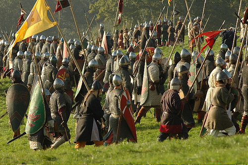
Then again, I really don’t see them as a group of people capable of waiting quietly for a bus: 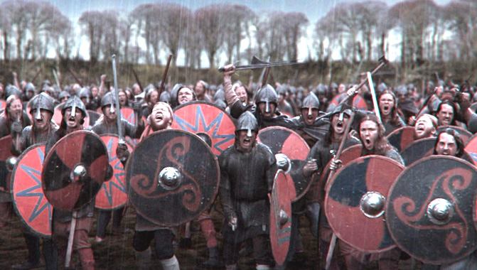 Another episode of extreme weather on the rain front came in 1141 when there was another Great Flood. And once again, the flooding was caused, as in 1947, by the mechanism of a sudden melt of large quantities of snow after prodigious amounts of rain. People in 1141 looked like this. Around this time there was clearly a significant risk for everybody of just rusting solid into one great mass:
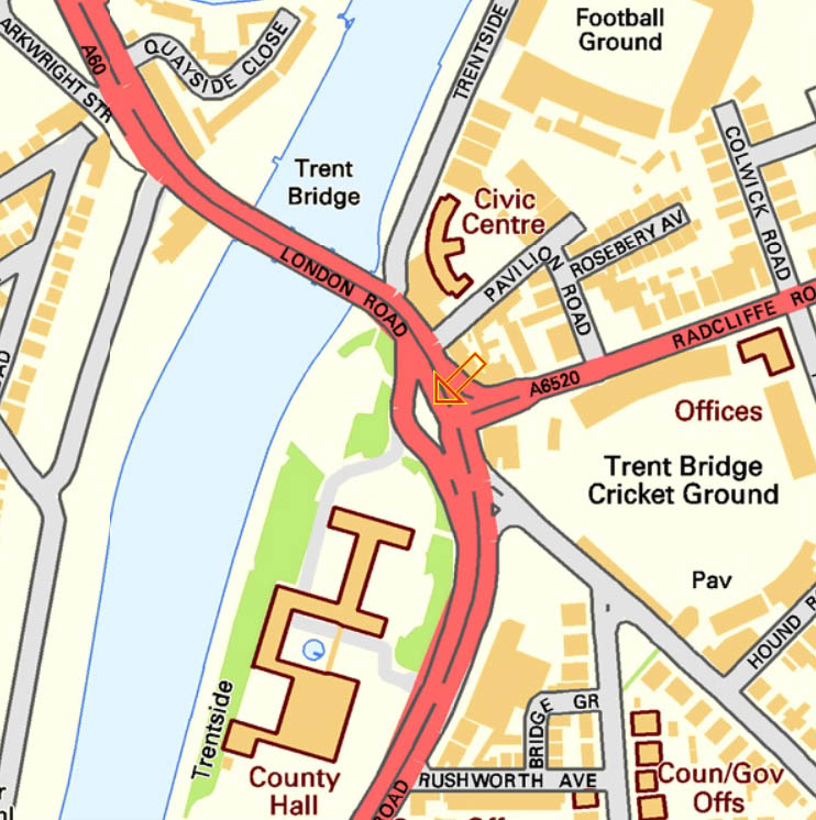
 In 1309, Hethbeth Bridge, the medieval precursor of today’s Trent Bridge, was washed away by severe winter floods. A small fragment of this old bridge is still visible on the road island at the southern end of the modern Trent Bridge:
 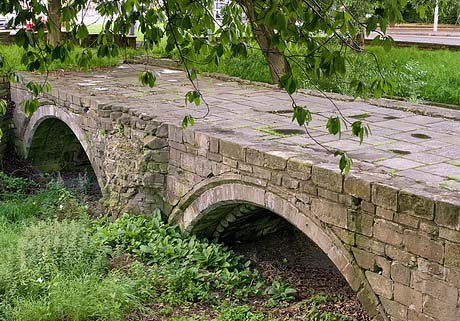 If you go to see it, be very careful. Traffic nowadays is much more dangerous than “The Great Heathen Army”. Look for the orange arrow:
In 1346, little detail has come down to us, other than:
“from mid-summer to Christmas, the rains fell almost without intermission”.
The River Trent duly experienced:
“One of the earliest recorded floods.”
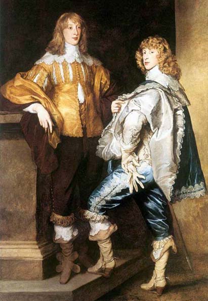
In 1499 Richard Mellers, the husband of Dame Agnes Mellers, of High School fame, is known to have given twenty shillings to help repair one of an apparent succession of Hethbeth Bridges, but it was pretty much in vain, as the Great Flood of 1683 washed a good proportion of it away. Here are two men in 1683. That’s not a look you can just throw together:
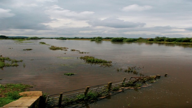
The worst ever flood in Nottingham was the so-called “Candlemas Flood” of February 1795, when two months of continuous ice and snow all melted extremely rapidly. Every single bridge on the entire River Trent was either damaged or washed away, including the Hethbeth Bridge for the umpteenth time. In the Narrow Marsh area of the city, around what is nowadays Canal Street and the land to the south of St Mary’s Church, the residents were all trapped in the upstairs of their houses and had to be given food from boats. At Wilford, up to 100 sheep were drowned and ten cows perished in West Bridgford. That doesn’t sound much, but they only had twelve.
The late eighteenth century provided some wonderfully ornate dresses, all guaranteed to keep you afloat until help arrived:

Another less severe flood came in November 1852 when the peak flow of the Trent was measured at some 38,200 cubic feet per second, between twelve and thirteen times the normal levels. A second, slightly worse Victorian inundation came in October 1875 when floodwater was up to six feet deep. During this latter flood the peak flow of the Trent was 45,000 cubic feet per second, fifteen times the normal levels. On Wilford Road an overcrowded cart was washed away and six people were killed. Higher up the river, huge numbers of farm animals were drowned and they must have been a ghastly sight as they floated down to the sea past Trent Bridge: